Land Spotted in South Atlantic Ocean (South Shetland Islands)

img_0544_1

62d 01m 52.9s S, 60d 03m 21.6s W

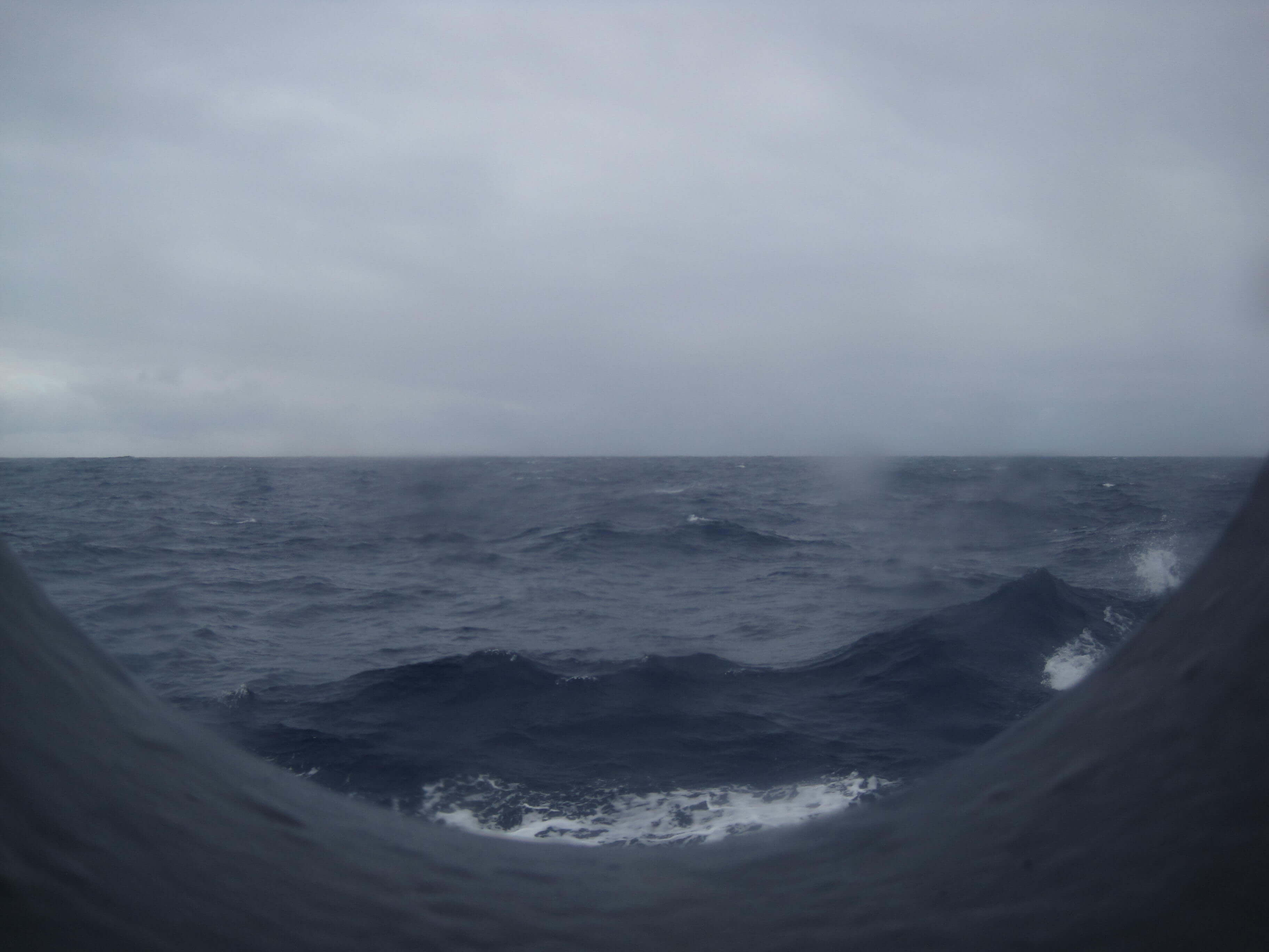
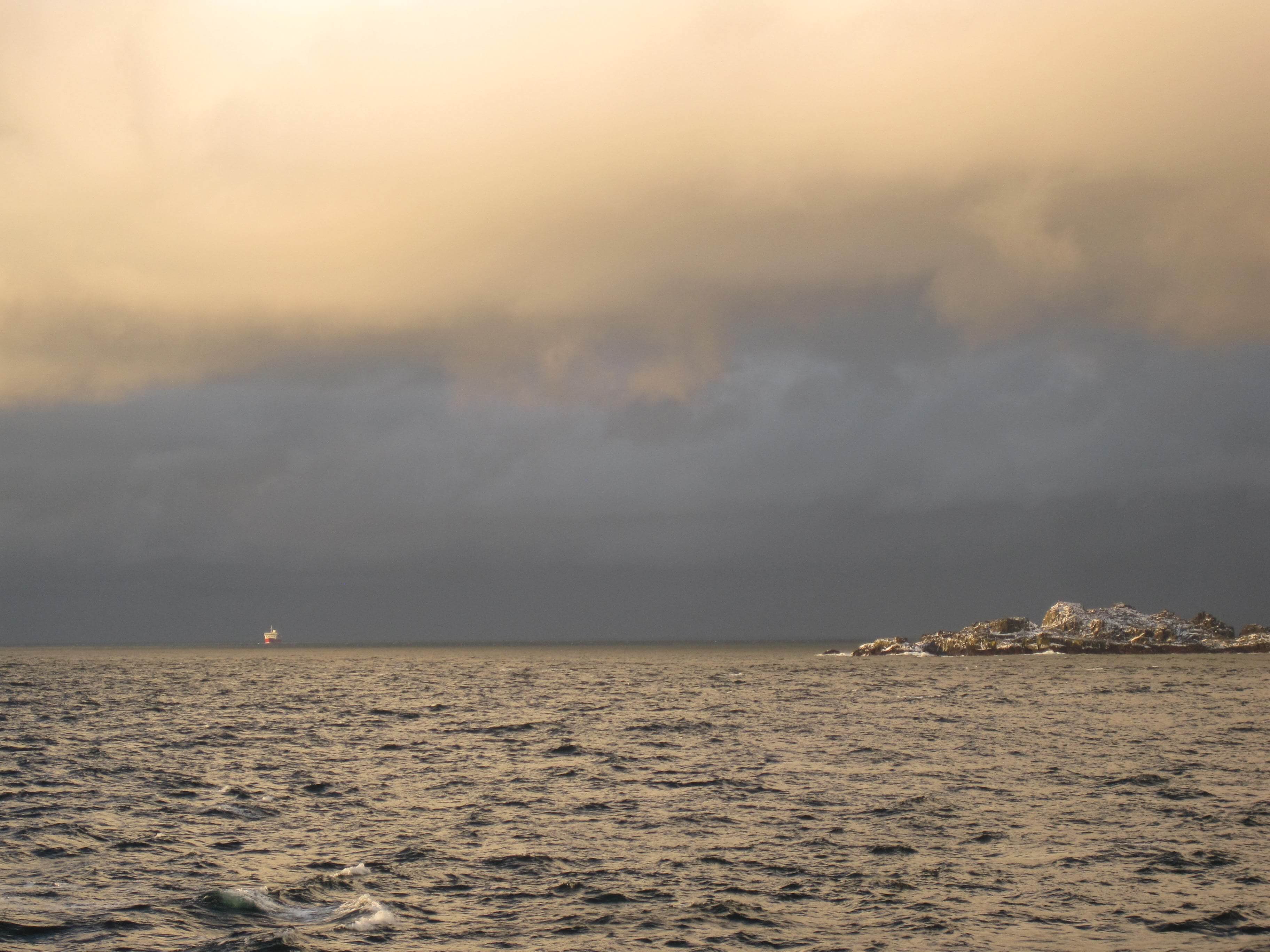
About 9 nautical miles to the south, we spotted land! It was not Antarctica, but rather the South Shetland Islands, which in themselves have amazing variety. I enjoyed being up on deck sketching the shapes as they emerged out of the mist. We had been racing a storm which provided some amazing scenery at sunset.

Our trajectory was down the English Strait between Roberts and Greenwich Islands. We had some snow fall on the ship as we headed into the Bransfield Strait towards sunset. Another day at sea, but landfall tomorrow (Feb 20) was promised.

The Drake Tax

img_0521_1

57d 42m 10s S, 64d 09m 35s W

So it began. The southern trek through the Drake passage. Traveling at an average of 12 knots, we were making good time. We learned about sail boats that take 3-4 days to cross this part of unpredictable waters. Sometimes you can get calm conditions (called the Drake Lake) but for the most part it was rough seas. Our companions were the mighty Albatrosses. Passengers spotted the Wandering, the Southern Royal, the grey-header and the black browed. I just marvelled at these amazing flying beasties who live on the ocean. Smaller birds, the White Chinned, Southern Giant and Black-Bellied Storm Petrels gave us some extra shapes to follow.

Sadly, most of this time I was spent down in our cabin on the 3rd deck. Yes, the sea did not deal well with the KImberly, but it was good time for reflection and reading. We had ice & snow up on deck with 40knot winds which prevented me from taking in the sea air and savour 360 degrees of land-less beauty (I do find the open sea to be just beautiful). I did pay the Drake Tax. But read on, it was worth it.

Departing the Beagle Channel

dsc03022_1

54d 55m 55.1s S, 67d 08m 29.2s W (WP081)

Sailing due East out through the Beagle Channel, our journey to the South Atlantic Ocean and the Antarctic Ocean began. A local pilot, based in Ushuaia, steers the boats that depart from or return to Ushuaia, so the first five hours of our trip were at the helm of such a man. The Polar Pioneer traveled an average of 12 knots during this leg. The goings were calm, the scenery was magnificent with Argentina to our North & East and Chile to our South & West, and Magellanic Penguins could be seen swimming in the strait with Cormorants flying in low formation.

Tierra del Fuego

img_0488_1

54d 51m 18.9s S, 68d 34m 34.8s W (WP074)

The second half of our trip would bring us to the Land of Fire, Tierra del Fuego, named as such by the 18th/19th c European explorers who stumbled up on the native peoples (Yaghan/Yamana & Selk’nam) who consistently kept their fires alight (even in their canoes) for warmth in such a chilly climate. Ushuaia would be our port of departure for the Antarctic Peninsula, and is the southern most city in South America. Only Port Williams (Chile) can boast as being the southern most town in South America.

We enjoyed our sojourn to the Tierra del Fuego National Park where the Nothofagus forest (niru & lenga) really captured my attention and love. Apparently this type of forest is restricted to the southern most parts of Chile & Argentina, Tasmania and South Africa, where it has a common ancestor when those lands were part of Gondwana and the later Pangaea supercontinent. With shallow roots, long lifetimes, and dry climates, the forest had incredible amounts of decaying wood, which we were later learning was essentially for providing nutrients to the living trees. Two types of fungus were rampant, one on the trunks and one more like the mistletoe variety perched between branches. Both had been commented on by Charles Darwin which he visited these parts on the HMS Beagle’s 2nd voyage (command by Captain FitzRoy) from December 1832 to summer of 1833.

LCROSS Spotted in Argentina

img_0399_1

50d 20m 11.6s S, 72d 20m 22.5s W (WP061)

For those who knew of my work at NASA, I was involved in a lunar impactor mission, LCROSS (Lunar CRater Observation and Sensing Satellite), from 2006-2009, a mission that confirmed the presence of water in the form of water ice within the lunar south pole crater Cabeus. LCROSS may be eternally at Luna Coords 84° 43’S, 49° 37’W, LCROSS was recently spotted at Terran Coords 50° 20’S, 72° 20’W.  Today we visited the local museum devoted to the study of ice and glaciers: Glaciarium. http://www.glaciarium.com/

Upon display look what we found! Although not named specifically, the artwork was quite familiar. Actually from all the other satellite imagery of ice/glaciers, etc. the museum would credit NASA Johnson Space Center or JPL, almost at random. Anyway, the curator was kind to allow me to take some snap shots!

 It was a fun surprise. (top) Glaciarium – Museum about ice. Off in the distance is Lago Argentino, the largest freshwater lake in Argentina. (bottom) Picture of the display on ice in our solar system.

img_0402

img_0401