Departing the Beagle Channel

dsc03022_1

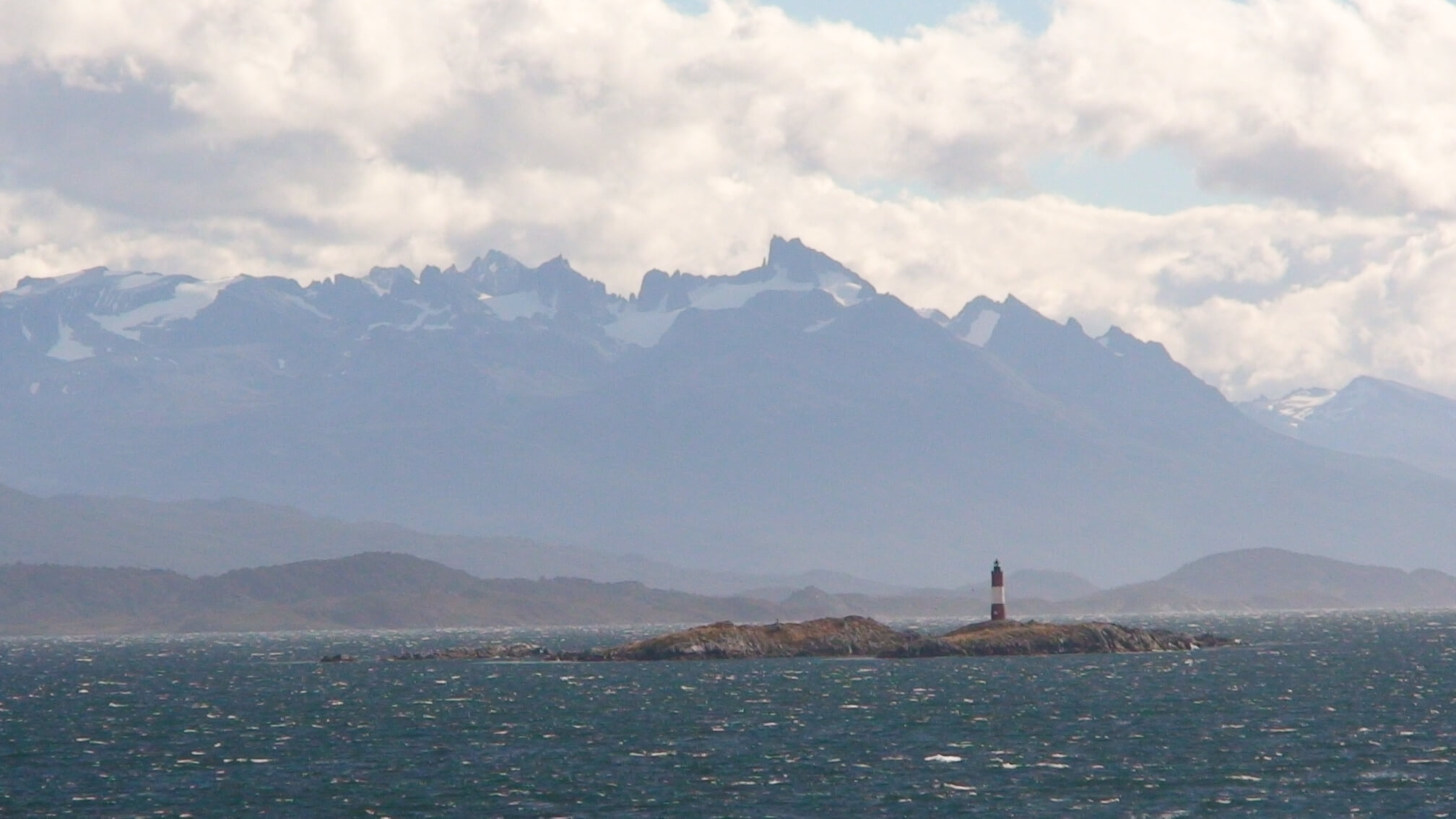
54d 55m 55.1s S, 67d 08m 29.2s W (WP081)

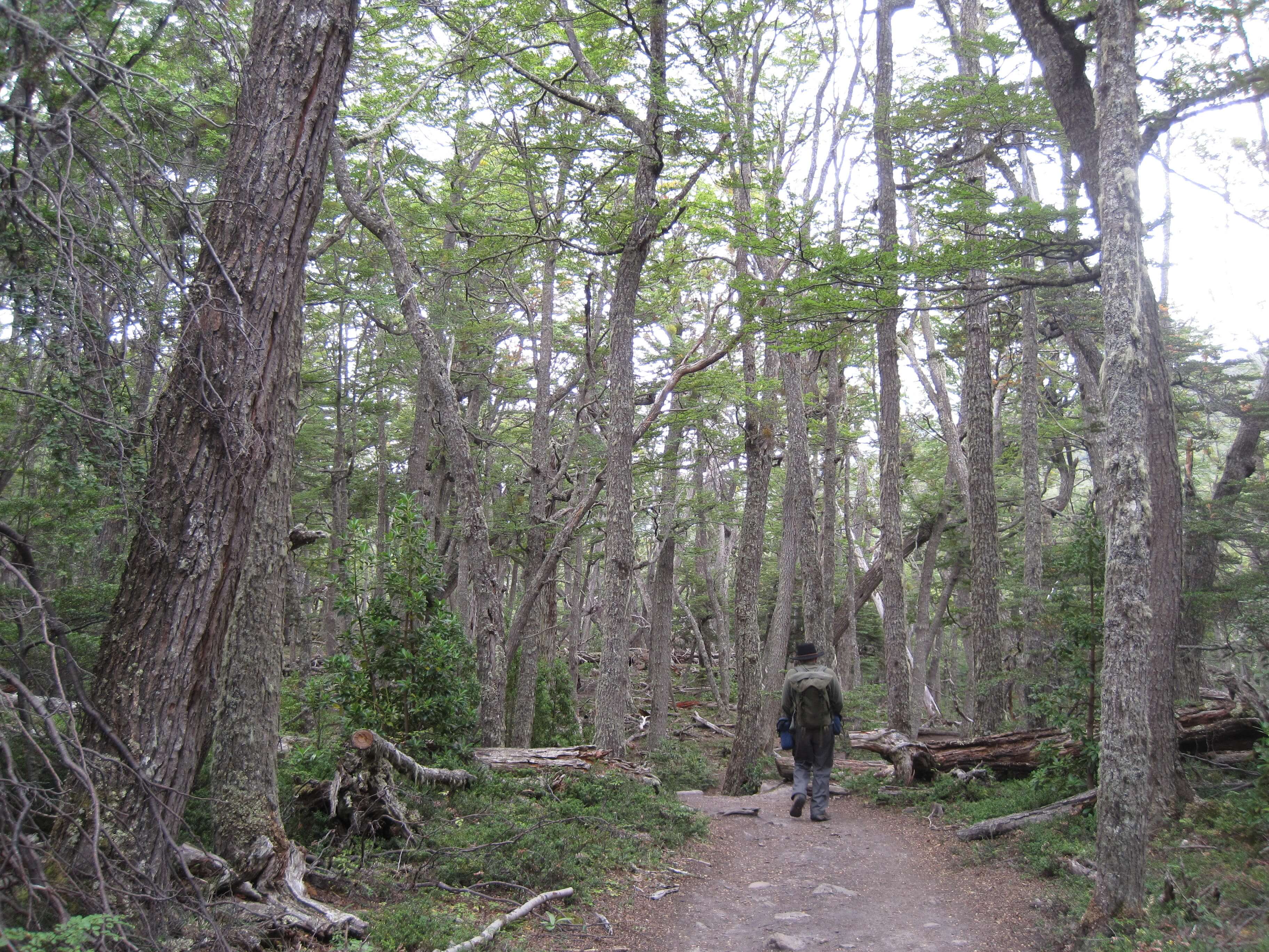
Sailing due East out through the Beagle Channel, our journey to the South Atlantic Ocean and the Antarctic Ocean began. A local pilot, based in Ushuaia, steers the boats that depart from or return to Ushuaia, so the first five hours of our trip were at the helm of such a man. The Polar Pioneer traveled an average of 12 knots during this leg. The goings were calm, the scenery was magnificent with Argentina to our North & East and Chile to our South & West, and Magellanic Penguins could be seen swimming in the strait with Cormorants flying in low formation.

Tierra del Fuego

img_0488_1

54d 51m 18.9s S, 68d 34m 34.8s W (WP074)

The second half of our trip would bring us to the Land of Fire, Tierra del Fuego, named as such by the 18th/19th c European explorers who stumbled up on the native peoples (Yaghan/Yamana & Selk’nam) who consistently kept their fires alight (even in their canoes) for warmth in such a chilly climate. Ushuaia would be our port of departure for the Antarctic Peninsula, and is the southern most city in South America. Only Port Williams (Chile) can boast as being the southern most town in South America.

We enjoyed our sojourn to the Tierra del Fuego National Park where the Nothofagus forest (niru & lenga) really captured my attention and love. Apparently this type of forest is restricted to the southern most parts of Chile & Argentina, Tasmania and South Africa, where it has a common ancestor when those lands were part of Gondwana and the later Pangaea supercontinent. With shallow roots, long lifetimes, and dry climates, the forest had incredible amounts of decaying wood, which we were later learning was essentially for providing nutrients to the living trees. Two types of fungus were rampant, one on the trunks and one more like the mistletoe variety perched between branches. Both had been commented on by Charles Darwin which he visited these parts on the HMS Beagle’s 2nd voyage (command by Captain FitzRoy) from December 1832 to summer of 1833.

LCROSS Spotted in Argentina

img_0399_1

50d 20m 11.6s S, 72d 20m 22.5s W (WP061)

For those who knew of my work at NASA, I was involved in a lunar impactor mission, LCROSS (Lunar CRater Observation and Sensing Satellite), from 2006-2009, a mission that confirmed the presence of water in the form of water ice within the lunar south pole crater Cabeus. LCROSS may be eternally at Luna Coords 84° 43’S, 49° 37’W, LCROSS was recently spotted at Terran Coords 50° 20’S, 72° 20’W.  Today we visited the local museum devoted to the study of ice and glaciers: Glaciarium. http://www.glaciarium.com/

Upon display look what we found! Although not named specifically, the artwork was quite familiar. Actually from all the other satellite imagery of ice/glaciers, etc. the museum would credit NASA Johnson Space Center or JPL, almost at random. Anyway, the curator was kind to allow me to take some snap shots!

 It was a fun surprise. (top) Glaciarium – Museum about ice. Off in the distance is Lago Argentino, the largest freshwater lake in Argentina. (bottom) Picture of the display on ice in our solar system.

img_0402

img_0401

Ice Hiking on a Glacier

img_0345_1

50d 30m 17.1s S, 73d 05m 37.0s W (WP055)

Another first for Kimberly occurred today, the wearing of crampons to walk on water, frozen water that is. Robert & I were part of a organized tour which taught us how to ice climb on Perito Moreno. We traveled only about 3 miles out into the vast ice field, in not the best of weather (rain, snow and wind) but enjoyed getting “up close and personal” to crevasses and seracs. This also marked my furthest south point as of this time in the trip.

A collection of GPS waypoints of our trek across the ice is shown below.

feb13

Three & a Half Days in El Chalten

img_0219_1

49d 16m 51.9s S, 72d 59m 02.8sW (WP031)

The photo above shows the viewpoint of Lagos Los Tres, within sight of the magnificent Fitz Roy. One I won’t forget. Three glacier lakes with their milky sheen completed the scene as Robert & I enjoyed a stunning view as the clouds parted and the sun poked its head out.

Our 15 mile hike this day (Feb 10), of modest ascent (we’d climb from 900 feet to 3900 feet), started off in rainy, cold weather. It was a jewel in surprise as it kept many of the hikers back and we found ourselves alone with the Magellanic Woodpeckers and the mountains, both which teased us with their beauty.

El Chalten is a funny town, relatively new, being the result of land-claims in the mid 1980s by the Argentines from the Chileans. It was certainly a town in great flux with loads of building going on. Although not really teeming with tourists, the only industry in town is geared for the walker, the ice climber, the trekker, etc. with rental gear shops, guides, and package tours, along with the needed restaurants and hotels.

We took in some local Argentine foods on our trip to the backcountry — Patagonian lamb and locro. The former is slow roasted in a spit all day and a common site in southern Argentine barbecue (asado) places. The latter was harder to come by, being a mountain stew of maize and anything you can think of that comes from a cow. It was a welcome treat after our second 15 mile hike (Feb 11) up to Laguna Torre to perhaps get a view of Cerro Torre, which alas, stayed behind clouds all day.

Sunday Feb 12th brought us a slow day as we waited for the evening bus back to El Calafate. We took into some local hikes with panoramic views of the Cerro Torre & Fitz Roy ranges and enjoyed watching the Andean Condor glide among the cliff edges.